


Transforming Green Infrastructure Management:
Executive Summary:
Introduction:
NHS Chester has modernised its tree management by adopting Mapscape, a cloud-based digital tree mapping platform. Replacing static PDFs, the Trust now utilizes interactive digital maps, automated carbon calculations, and 3D visualization tools aligned with NHS Net Zero goals.
he project delivers measurable efficiency gains and improved collaboration, securing an ongoing subscription renewal to support long-term, sustainable estate management and green infrastructure programming.
Objectives:
a) Replace static tree survey PDFs with an interactive, map-based digital platform.
b) Support NHS Net Zero reporting through automated carbon-sequestration calculations.
c) Enable cross-departmental access to real-time tree data for improved planning and safety.
d) Integrate volunteers and sub-contractors securely into the workflow.
e) Create a long-term foundation for sustainable green estate management.
Solution
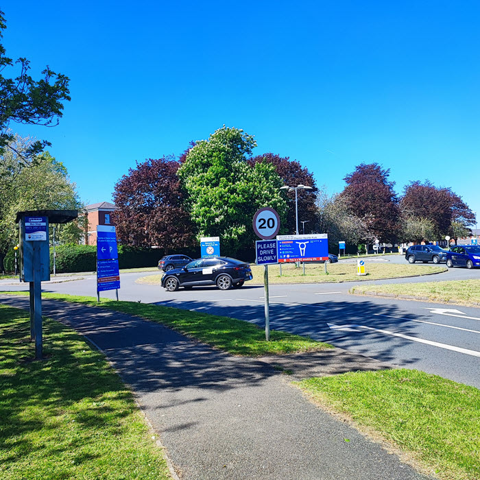
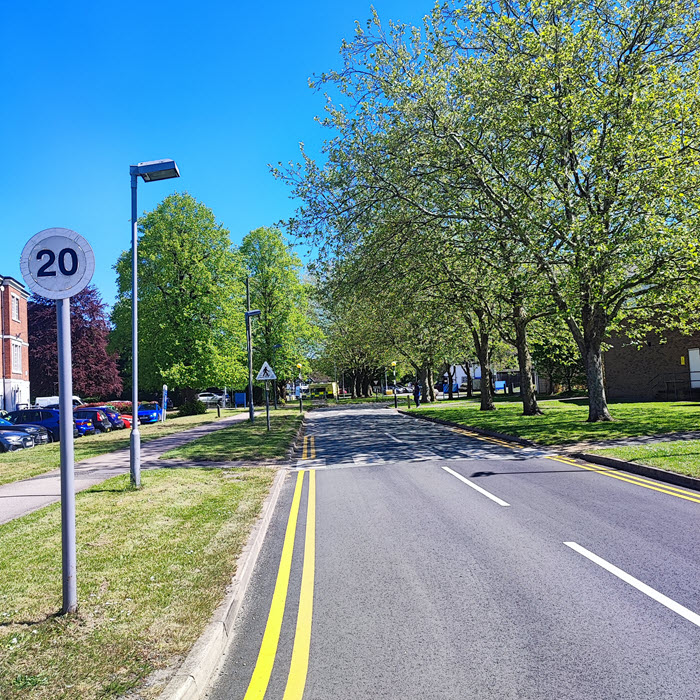
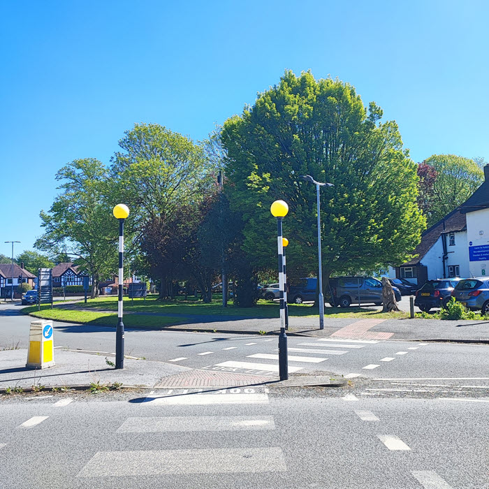
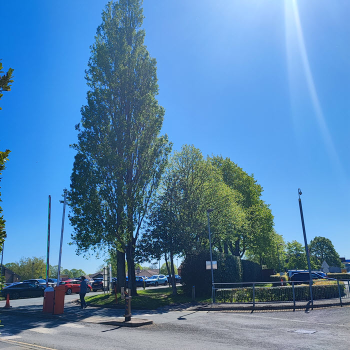
Mapscape provided a complete cloud-hosted tree management solution tailored to the NHS Chester estate. Using Ordnance Survey MasterMap and Bluesky International HD Aerial Imagery, the system accurately positioned every tree within the hospital grounds and surrounding parkland.
The software’s intuitive interface allows users to visualise trees in both 2D and interactive 3D environments, displaying canopy spread, target zones, and fall distances using colour-coded priority codes. Automated spreadsheets simplify reporting and cost estimation, while integrated photo records enhance auditability.
Implementation
Mapscape worked closely with the NHS Chester Grounds Maintenance team to configure site maps, upload baseline data, and train staff and volunteers through Teams sessions and on-site visits.
Initial challenges, including aligning existing records and tree numbering, were swiftly resolved through Mapscape’s responsive support and user-friendly import tools.
Within hours, teams were confidently plotting trees, verifying positions, and generating automated reports for internal use and external contractors.
Results
a) Full digital mapping of all trees across hospital and parkland sites.
b) Significant time savings compared with manual PDF updates.
c) Streamlined contractor engagement and quotation planning using target-zone visuals.
d) Improved ability to demonstrate carbon sequestration contributions to the NHS Net Zero Plan.
e) Positive feedback from staff: “The 3D view makes tree management modern, engaging, and accessible.

Conclusion:
NHS Chester’s adoption of Mapscape has transformed tree management from a static reporting process into a dynamic, data-driven operation.
Future Plans:
NHS Chester plans to expand its use of Mapscape with the forthcoming Tree Risk Assessment and Tree Planting applications.
These tools will support ongoing canopy management, new planting for screening and wellbeing areas, and long-term establishment tracking, further embedding digital sustainability within the NHS estate.